Sorry! We're having trouble locating your ticket. If you're sure you registered, click Join Now! and be sure to enter the same email address you used to register for the event. If you haven't yet registered, you can still sign up by choosing one of the ticket types below.
From Service to Software: Navigating a Tech Career as a Veteran
You have registered successfully!
You will receive a confirmation email with the event details shortly. If you don't receive it, please contact summit@powertofly.com
One more thing before you go...
Don't miss out! Join the whole Diversity Reboot Summit series with one click!
Select the summits in this year’s Diversity Reboot Series that you’d like to attend, and register with a single click.
Before you go!
Complete the 2-step registration to connect with companies and recruiters.
From Service to Software: Navigating a Tech Career as a Veteran
Supporting Veterans, Active Service Members & Military Spouses
Get ready for an engaging fireside chat with Philip Suarez, a veteran and tech professional at Esri, as he shares his exciting journey from military service to a fulfilling career in technology. Philip will dive into the invaluable skills he honed during his time in the military and how they’ve powered his success in the tech world, along with the challenges he faced during his transition. He’ll also shine a light on how his role at Esri lets him give back to the military community, proving that veterans can make a significant impact in their professional lives. Plus, Philip will share tips on how fellow veterans can leverage their unique backgrounds to thrive in the tech industry.
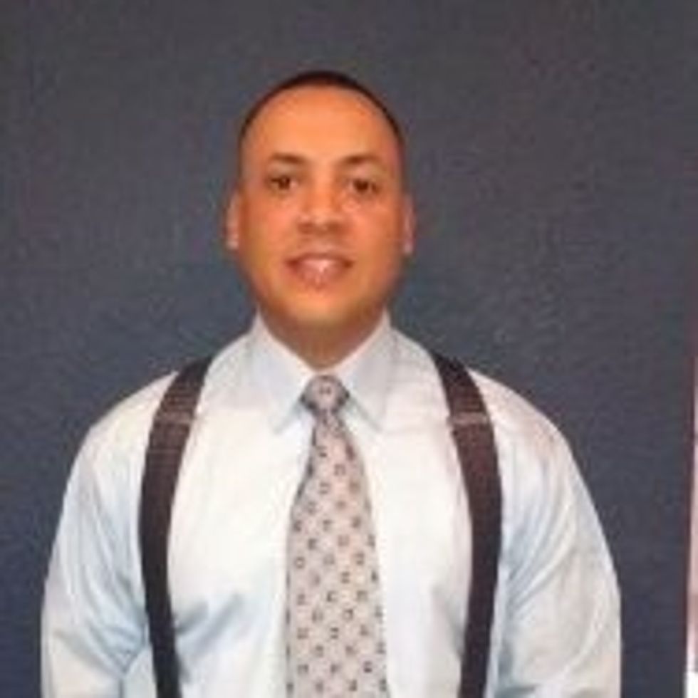
Phil Suarez (He/Him)

Phil Suarez is a retired US Army Intelligence professional with over 31 years of service to the Defense and Intelligence Community. Phil began his career as an Imagery Analyst in 1993, attending Basic Training at Ft. Leonard Wood, MO. He went on to attain his Imagery Analyst certification at the US Army Intelligence Center of Excellence (USAICoE), Ft. Huachuca.
His experiences span the tactical, strategic and national levels, with assignments that include 319th MI BN (Ops) (ABN), supporting Tactical Exploitation Of National Capabilities (TENCAP) in both GEOINT and SIGINT operations for XVIII Airborne Corp. He continued his career at the Joint Intelligence Center Pacific (JICPAC) performing multi-sensor intelligence for the Commander in Chief, US Pacific Command (CINCPAC). In early 2001, Phil served as the senior analyst for the Combat Support Coordination Team 1 (CSCT1), Combined All Source Intelligence Center, and functioned as the liaison with the First Republic of Korea Army (FROKA). Following this assignment, Phil was assigned to the National Geospatial-Intelligence Agency (NGA) as an analyst for the Land Weapons Technology Branch, Advanced Weapons Technology Division. He conducted exploitation of multi-sensor intelligence in support of White House policy makers, the National Security Advisor, the Secretary of Defense and The Joints Chiefs of Staff. Phil transitioned into the NGA College, where he was a Senior Instructor for the Community Imagery Analysis Course. Phil was subsequently assigned back to USAICoE, as the GEOINT Branch Chief and Senior Combat Capabilities Developer. He provided DOTMLPF-P solutions against Army requirements, for future imagery processing and exploitation systems, and was the Subject Matter Expert (SME) representing NGA, ASPO, and USAICoE. In 2007, Phil deployed with (TF) ODIN as the Aerial Reconnaissance Support Team Chief, providing actionable intelligence to Multi-National Corp Iraq (MNCI), in support of Operation Iraqi Freedom (OIF). Phil concluded his US Army career back at USAICOE, as the lead Combat Developer for GEOINT, applying a DOTMLPF approach to instantiate a force design update, creating GEOINT Cells within 63 organizations across the Army.
Phil’s civilian career started with Esri, Inc. in 2013. He served as the lead solutions architect for the Defense and Intelligence Solutions team in Redlands, CA., and developed and designed configurations of the ArcGIS Platform in support of the Defense and Intelligence Community. In 2016, Phil transitioned to the Global Business Development organization as a Defense Account Executive, supporting the delivery of defense and intelligence solutions to US Army and other US Military customers world-wide. Phil currently serves as the business development team lead for the Defense C4ISR community focusing on the Army, Navy and Marines Corps.
Phil is the recipient of multiple professional achievement awards and accommodations which distinguishes himself, and includes the Defense Meritorious Service Medal with one oak leaf cluster. He was also awarded the Military Intelligence Knowlton Award, given to individuals who have contributed significantly to the promotion of Army Intelligence in ways that stand out, in the eyes of the recipients, their superiors and peers.
Phil holds multiple certifications from the Scrum alliance, and earned an Associate in Applied Science from Cochise College, a Bachelor’s of Science in Information Technology from the University of Phoenix, and will complete his Masters of Business Administration from the University of North Carolina- Chapel Hill, Kenan-Flagler School of Business in June 2025.
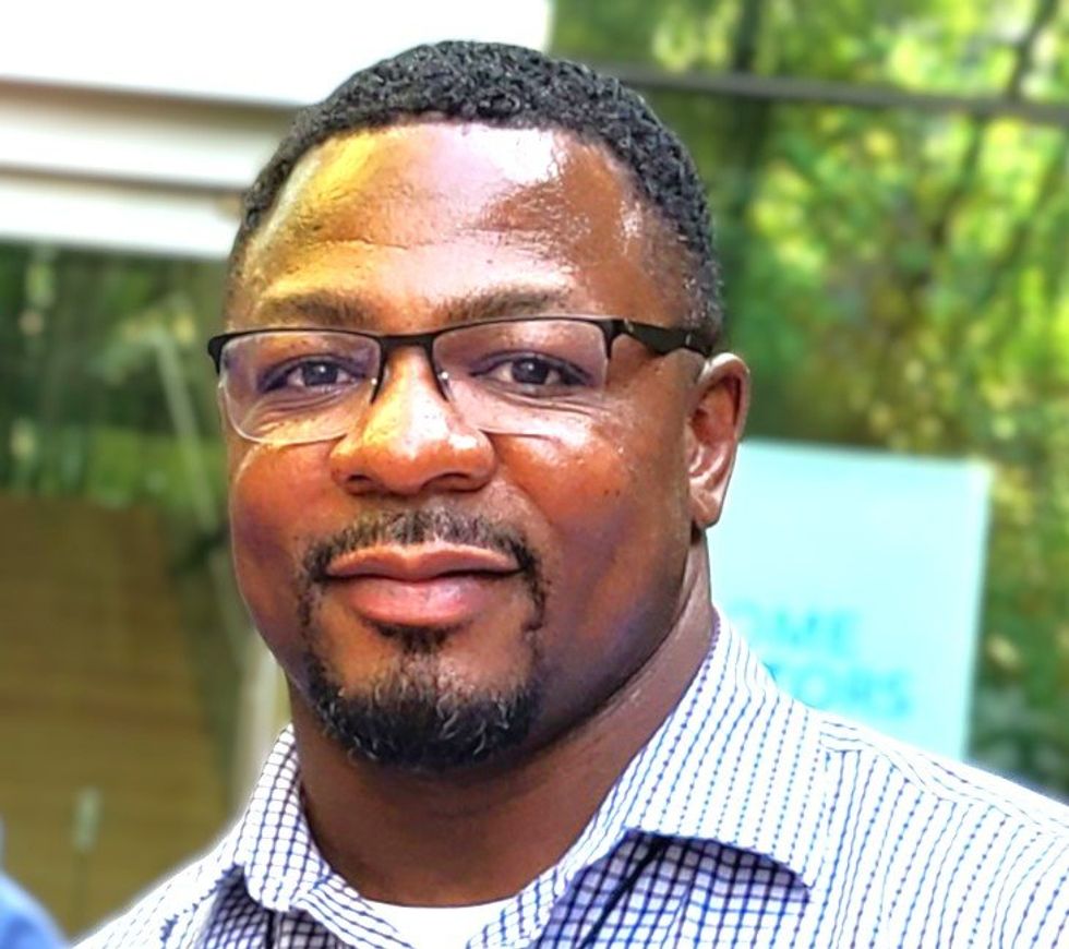
Jamon Johnson (He/Him)

Jamon Johnson serves as Esri’s Group Product Manager for the 3D GIS, Imagery and Remote Sensing, and National Security Capabilities Group Team, bringing 29 years of experience in the Geographic Information Systems (GIS) industry. He began his career as an Intelligence Officer and GEOINT Analyst in the United States Marine Corps. Over nearly three decades, he has spearheaded advancements in GIS technology, managing 3D GIS, imagery, and remote sensing solutions. Jamon has contributed to disaster response, urban planning, environmental conservation, and combat operations while also mentoring others and setting industry standards. His commitment firmly establishes him as a leader and ambassador in the GIS field.